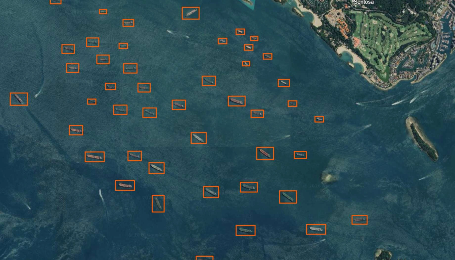
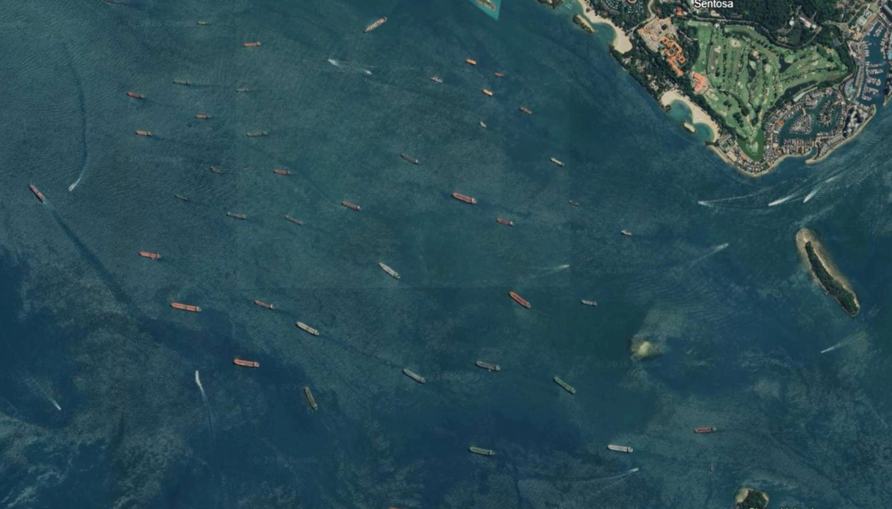
Vessel detection
Monitor vessel activity across oceans and ports with satellite intelligence, enhancing maritime security and operations.
How EOS RayVision supports vessel tracking
Maritime traffic monitoring
Core benefit:
Track vessels, types, density, routes and trends across large ocean areas.
Illegal fishing detection
Core benefit:
Spot unauthorized vessels in protected marine zones or fishery closures.
Port congestion assessment
Core benefit:
Count ships waiting at anchorage, measure berth occupancy, estimate vessel queue times.
Security threat identification
Core benefit:
Spot unexpected vessels, suspicious activity near critical offshore assets.
Outputs EOS RayVision delivers for your project

Original data layers
Details of that data format.

Decision-ready PDF report
Insights and clear conclusions, packaged for fast decisions and easy sharing.

Interactive smart map
Cloud-based interactive smart maps with 3D visualization.
Typical project stages
Defining AOI, requirements, and KPIs
Selecting optimal imagery (optical, SAR, or hybrid)
Running baseline mapping and ML change detection
Validating, enriching, and prioritizing insights
Delivering data layers, a report, and a smart map on schedule
Why choose EOS RayVision for monitoring vessel activity
Intelligence, not raw data
Decision-ready detections and evidence instead of raw layers.
Multi-sensor monitoring
Optimal optical/SAR mix for clouds, and revisit constraints. EOSSAT-1 and 20+ constellations.
Global scale, fast rollout
Deploy across countries and portfolios with consistent methodology.
Flexible delivery and visualization
Access data in the way: GIS layers, PDF reports, or 3D interactive maps.
Reusable ML/AI models
Get consistent, accurate detection across assets through proven ML/AI models.
End-to-end expert implementation
In-house science and GIS teams handle the full process for reliable results every time.
FAQ
Can you identify specific vessel types?
We can classify vessels by size category (small, medium, large) and type category (container ships, ro-ro ships, tankers, bulk carriers, passenger ships) with the higher imagery resolution.
How do you detect vessels without AIS?
SAR and optical imagery detect vessels directly based on radar or visual signature, independent of transponders.
What is the minimum vessel size you can detect?
Typically, EOS RayVision can detect vessels 15–30 meters long with medium-resolution (10m) imagery and shorter ones with high-resolution (80–30cm) imagery.
Can you track vessel movements over time?
We detect vessel positions at each image timestamp. Continuous EOS RayVision tracking is possible with frequent satellite revisit.