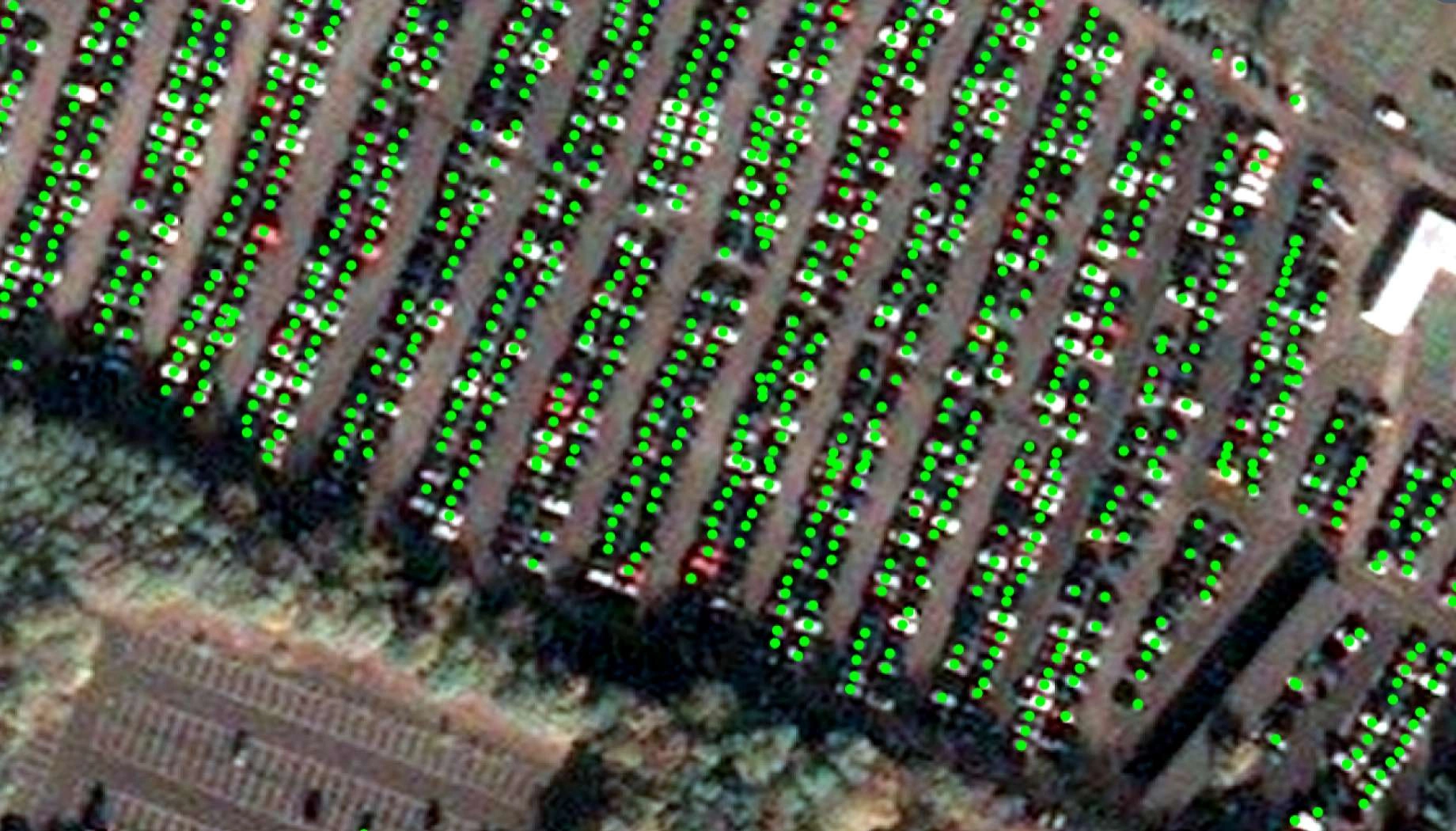
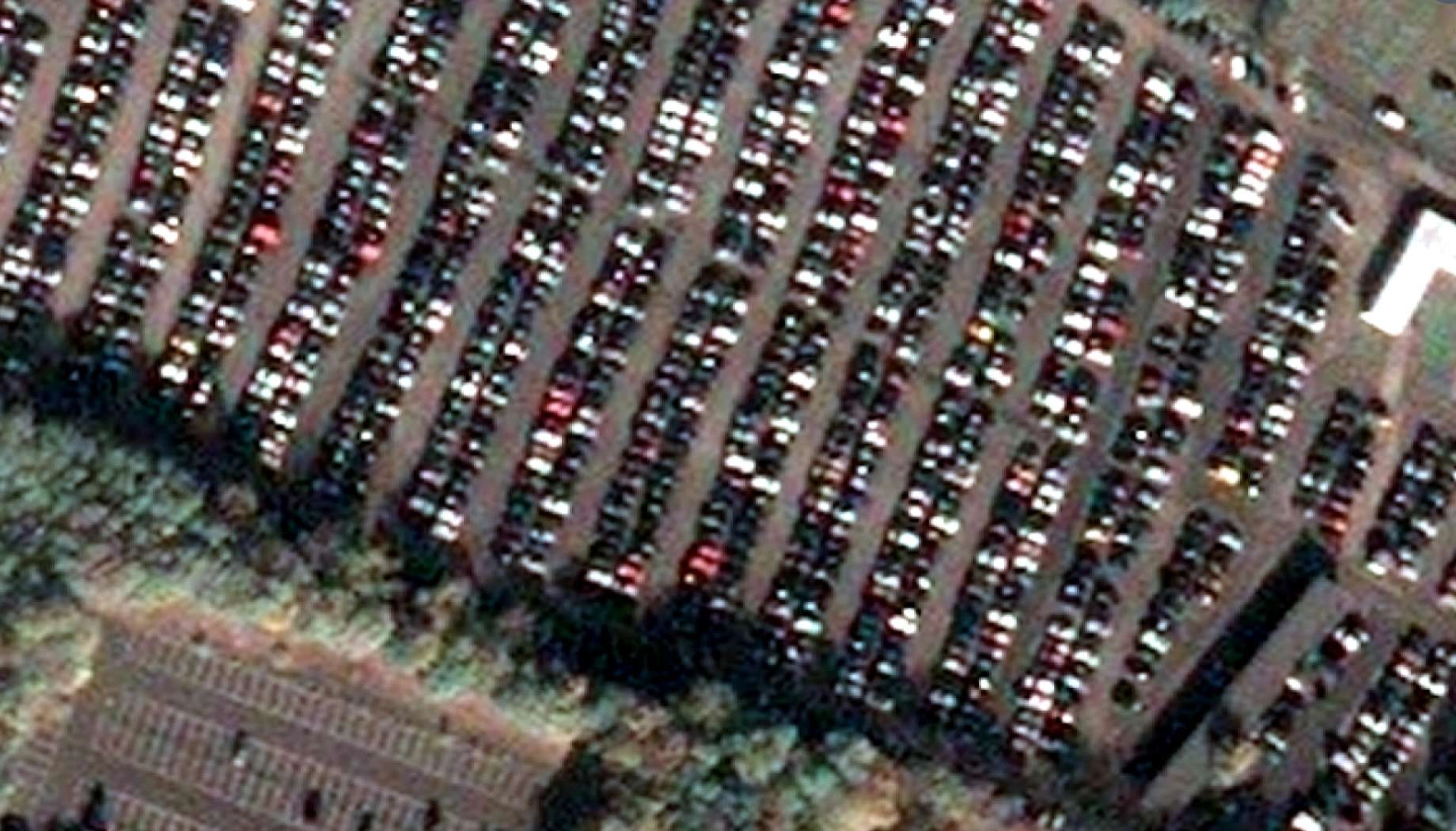
Vehicle and equipment detection
Monitor vehicles and heavy equipment across sites with satellite intelligence, optimizing operations and enhancing security.
How EOS RayVision strengthens your project
Fleet tracking
Core benefit:
Count and locate vehicles across sites, yards, or regions without GPS trackers or access.
Equipment utilization
Core benefit:
Verify presence, positioning and apparent activity levels of heavy equipment or machinery.
Unauthorized access
Core benefit:
Detect unexpected vehicles in restricted areas, protected zones, or after-hours on secured properties.
Activity pattern analysis
Core benefit:
Analyze vehicle concentrations, movements, and site usage trends to optimize operations.
Outputs EOS RayVision delivers for your project
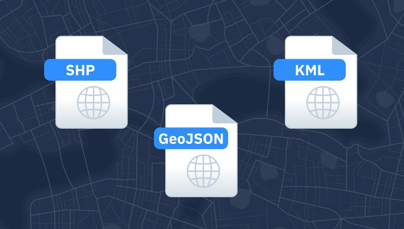
Original data layers
Details of that data format.
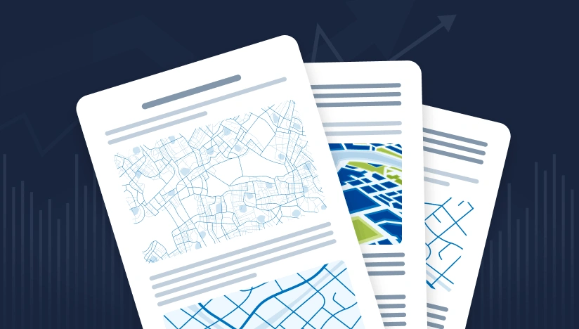
Decision-ready PDF report
Insights and clear conclusions, packaged for fast decisions and easy sharing.
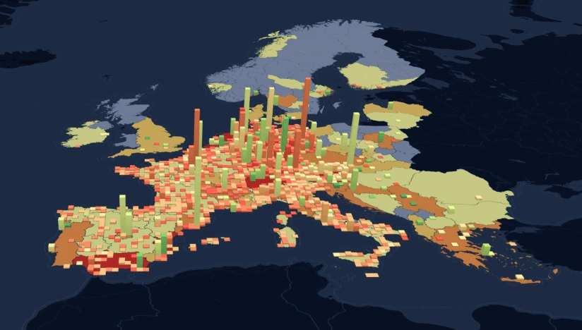
Interactive smart map
Cloud-based interactive smart maps with 3D visualization.
Typical project stages
Define AOI, requirements, and KPIs
Select optimal imagery (optical, SAR, hybrid)
Run baseline mapping and ML change detection
Validate, enrich, and prioritize insights
Deliver layers, report, and smart map on schedule
Why choose EOS RayVision for vehicle tracking
Intelligence, not data
Decision-ready detections and evidence instead of raw layers.
Sensor-agnostic coverage
Optimal optical/SAR mix for clouds, and revisit constraints. EOSSAT-1, 20+ constellations.
Global scale, fast rollout
Deploy across countries and portfolios with consistent methodology.
Flexible delivery and visualization
GIS layers, PDFs, cloud-based Smart Maps with 3D visualization that fit your workflows.
Reusable ML/AI library
Proven change, object, and anomaly models tuned per asset type.
Full-Cycle implementation, Science and GIS Teams
In-house science and GIS teams run the full workflow, ensuring reliable outputs results.
FAQ
What object types and sizes can you detect?
Typically cars and larger vehicles. Detecting smaller objects is also possible with EOS RayVision but will require higher resolution of imagery.
Can you identify specific vehicle types?
EOS RayVision allows to classify vehicles by general type (car, truck, heavy equipment, etc.).
What accuracy can we expect?
Detection accuracy typically 90%+ depending on imagery resolution, vehicle type, and environmental conditions.
Can vehicle detection work at night or in darkness?
SAR (radar) imagery works equally well day or night in all weather. Standard optical satellites require daylight.