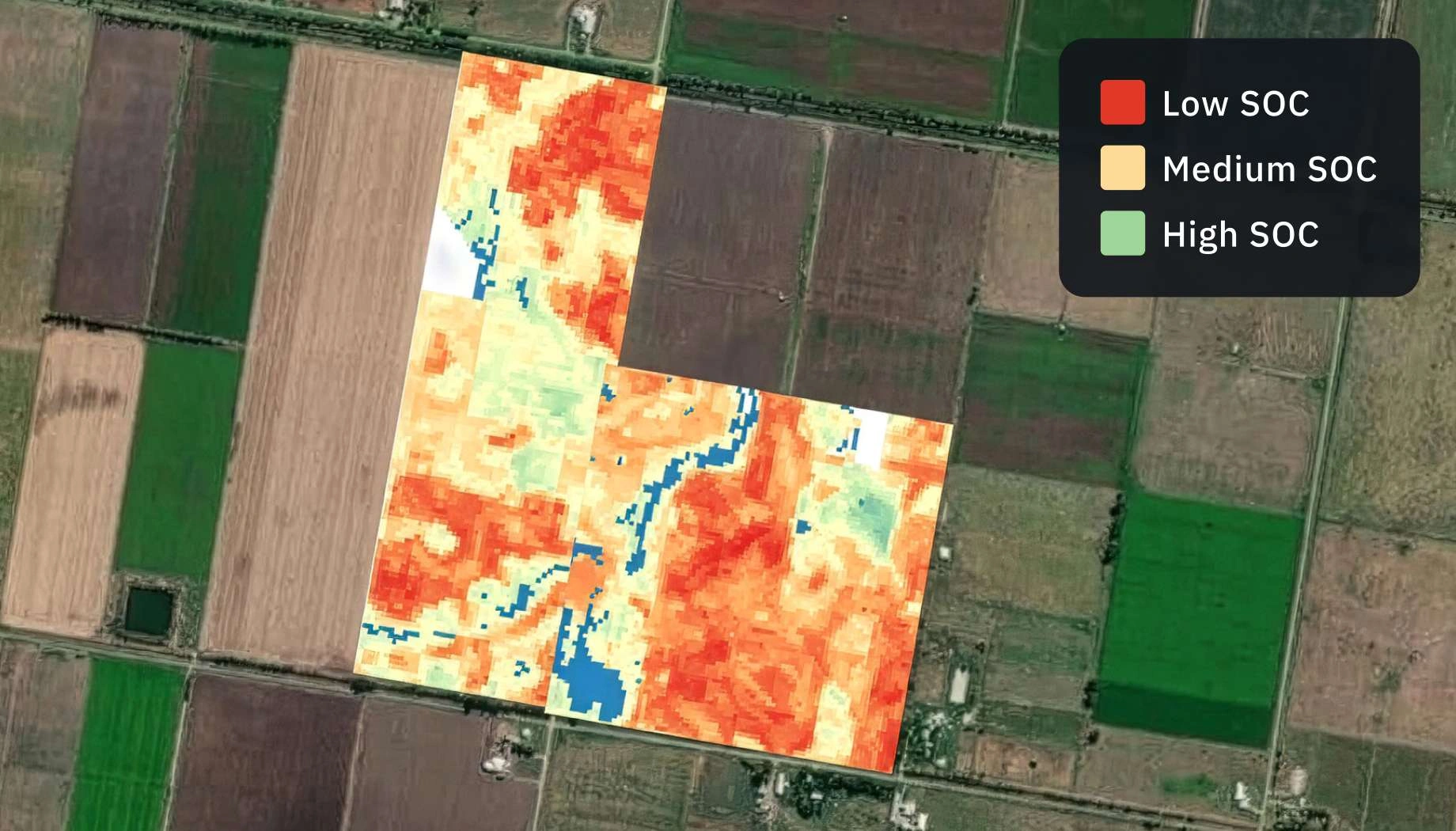
Soil organic carbon prediction
Strategically forecast sequestration dynamics and clearly estimate revenue potential over the next 20 years using precise SOC scenario modeling.
How SOC forecasting by EOS RayVision supports your strategic goals
Project feasibility modeling
Core benefit:
Validate project economic viability using 20-year SOC gain forecasting.
Land management optimization
Core benefit:
Identify optimal land practices with carbon sequestration scenario modeling.
Projecting carbon credit revenue
Core benefit:
Secure investments and plan returns through long-term carbon credit revenue forecasts.
Timing soil sampling
Core benefit:
Avoid needless sampling costs with models predicting when sequestration targets are met.
SOC forecasting outputs by EOS RayVision tailored to your workflow
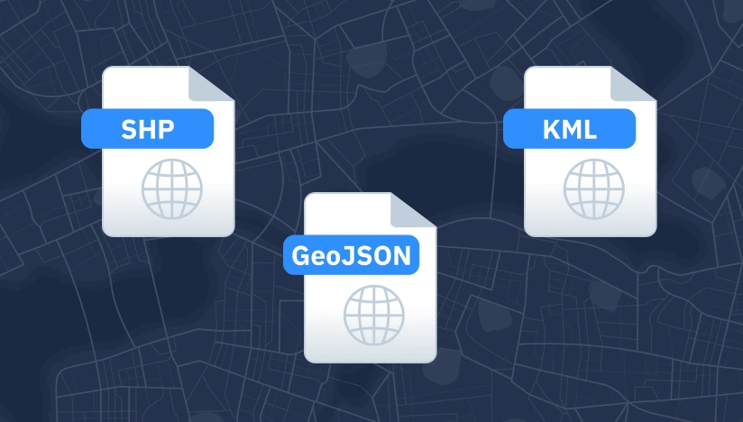
Original data layers
Receive GEOJSON / KML / SHP datasets and upload them wherever you want.

Decision-ready PDF report
Actionable report summarizing key findings for rapid response and easy sharing.
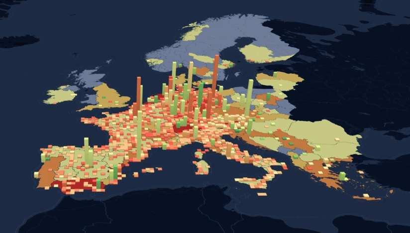
Interactive smart map
Cloud-based interactive map with 3D view for clear visualization and spatial analysis.
Typical project stages
Defining AOI, requirements, and KPIs
Selecting optimal imagery (optical, SAR, or hybrid)
Running baseline mapping and ML change detection
Validating, enriching, and prioritizing insights
Delivering data layers, a report, and a smart map on schedule
What sets the EOS RayVision approach apart
Intelligence, not raw data
Get ready-to-use insights, not just raw layers, to make decisions on the fly.
Multi-sensor monitoring
Never miss critical changes thanks to smart optical and SAR coverage of 20+ constellations.
Global scale, fast rollout
Deploy quickly across regions to standardize monitoring and save time.
Flexible delivery and visualization
Access data in the way that fits your workflow: GIS layers, PDF reports, or 3D interactive maps.
Reusable ML/AI models
Get consistent, accurate detection across assets through proven ML/AI models.
End-to-end expert implementation
In-house science and GIS teams handle the full process for reliable results every time.
FAQ
How far into the future can you predict soil carbon changes?
We predict soil organic carbon changes for any selected timeframe within a 20-year period using our enhanced RothC model.
Which climate and soil factors does your predictive model account for?
We incorporate climate (e.g., temperature, rainfall, evapotranspiration) and soil factors (e.g., clay content, soil depth, moisture deficit) alongside 11-band EOS SAT-1 satellite data.
Can I compare different regenerative practices before implementing them?
Yes, we simulate different regenerative scenarios such as cover cropping, no-till farming, or organic matter application, helping you select the most effective approach before implementation.
Does the prediction model comply with international carbon standards?
Yes, the model used by EOS RayVision is adjustable for Verra, Gold Standard, Climate Action Reserve, and The Regenerative Standard (TRS), ensuring scientific credibility.
What is the minimum area required for a prediction project?
We require a minimum project area of 1,000 hectares to maintain statistical relevance and prediction accuracy.
How does your prediction model differ from the standard RothC?
Unlike the standard RothC model, which uses a predefined set of predictors, coarse-resolution (around 1000 m), and a fixed 20-year timeline, EOS RayVision's approach applies automated predictor selection for each case, higher spatial resolution data up to 10 meters, and flexible forecasting for any timeframe within 20 years.