Construction progress assessment
Track construction milestones and delays with satellite monitoring, ensuring projects stay on schedule and within budget.
How EOS RayVision supports continuous construction progress monitoring and reporting
Timeline tracking
Core benefit:
Monitor construction progress against planned milestones with regular satellite updates.
Delay detection
Core benefit:
Spot slowdowns, weather impacts, and stoppages early to prevent critical deadline risks.
Resource planning
Core benefit:
Optimize equipment use and team allocation using verified site activity data.
Contractor performance validation
Core benefit:
Satellite data proves progress objectively, cuts overpayments, ensures fair evaluation.
Outputs EOS RayVision delivers for your project
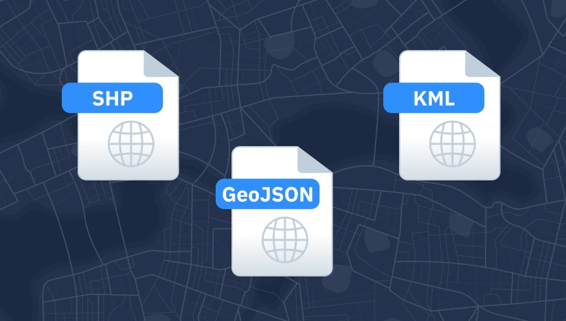
Original data layers
Details of that data format.
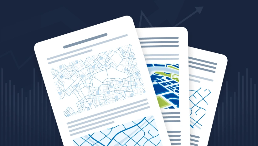
Decision-ready PDF report
Insights and clear conclusions, packaged for fast decisions and easy sharing.
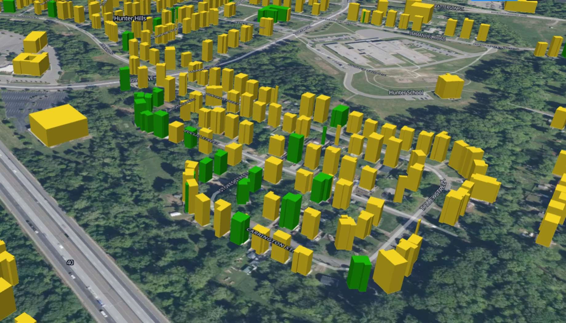
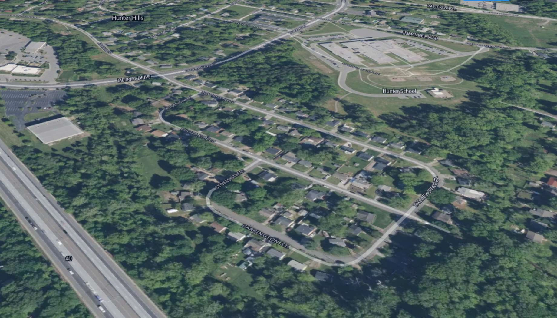
Interactive smart map
Cloud-base interactive smart maps with 3D visualization.
Typical project stages
Define AOI, requirements, and KPIs
Select optimal imagery (optical, SAR, hybrid)
Run baseline mapping and ML cnange detection
Validate, enrich, and prioritize insights
Deliver layers, report, and smart map on schedule
What sets EOS Rayvision solution apart
Intelligence, not data
Decision-ready detections and evidence instead of raw layers.
Sensor-agnostic coverage
Optimal optical/SAR mix for clouds, and revisit constraints. EOSSAT-1 and 20+ constellations.
Global scale, fast rollout
Deploy across countries and portfolios with consistent methodology.
Flexible delivery and visualization
GIS layers, PDFs, and cloud-based Smart Maps with 3D visualization that fit your workflows and tools.
Reusable ML/AI library
Proven change, object, and anomaly models tuned per asset type.
Full-Cycle implementation, Science and GIS Teams
In-house science and GIS teams run the full workflow, ensuring reliable outputs and consistent results end to end.
FAQ
How frequently can I get progress updates?
EOS RayVision can deliver updates from daily to monthly or quarterly, depending on project phase, critical milestones, and imagery availability for your location.
What level of detail can satellite imagery provide?
We detect major structural changes and equipment presence. Very fine details are also possible and will require higher resolution imagery tasking.
How do you handle persistent cloud coverage?
EOS RayVision uses SAR imagery or multi-date optical composites to maintain monitoring continuity despite weather.
How do you ensure accuracy?
We use baseline calibration, automated QA rules, cross-sensor verification, and expert review for high-impact alerts.