Urban and smart cities
AI-powered urban monitoring from space. Get instant change signals and up-to-date visual layers to track your city’s evolution and plan sustainable urban development.
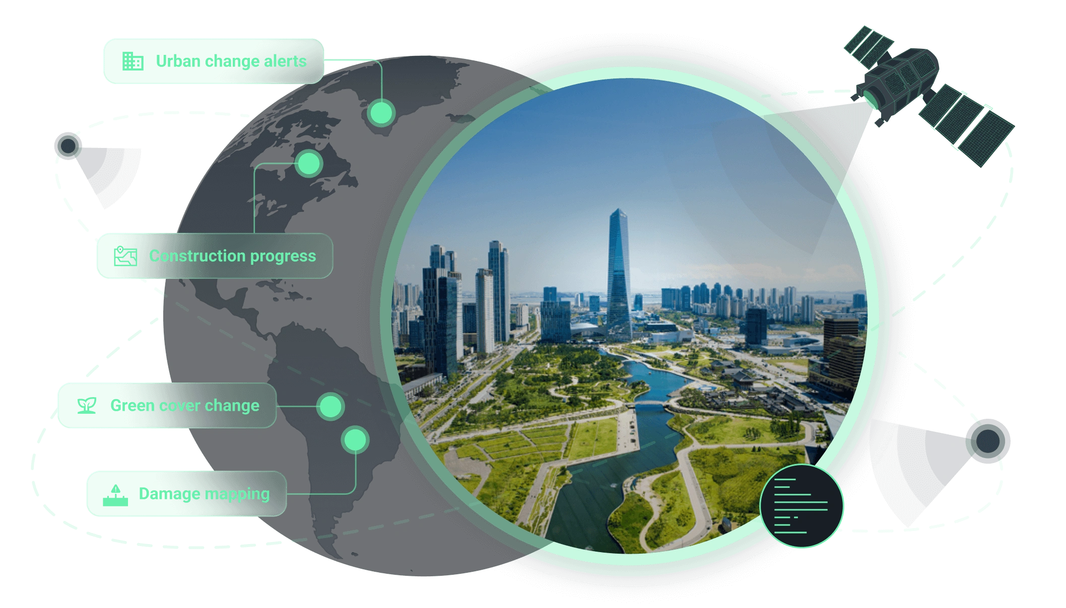
How we support operations in urban and smart city sectors
Core benefit:
Stay ahead of urban sprawl by detecting new buildings and land use changes.
Core benefit:
Detect disruptions and risks across roads, bridges, and transport corridors.
Core benefit:
Keep projects on track by comparing real-time build progress against baselines.
Core benefit:
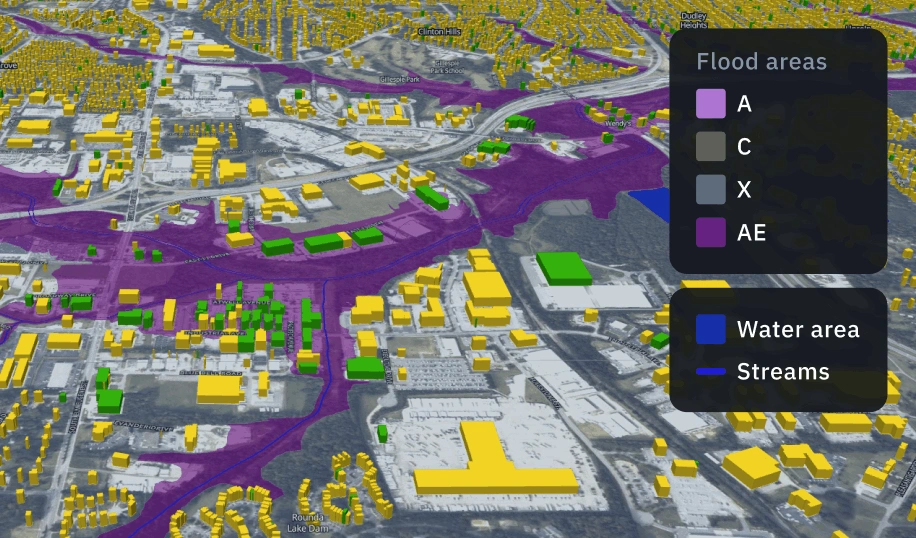
Mitigate climate risks with high-precision flood-prone area identification.
Core benefit:
Track vegetation loss and gain to support ecosystem health and city resilience.
Core benefit:
Optimize emergency response with rapid damage assessment of impacted zones.
Solutions for urban development and smart city monitoring
Damage mapping
Quickly identify flood-affected areas, damaged assets, and contamination zones to speed up response, verify claims, and minimize losses.
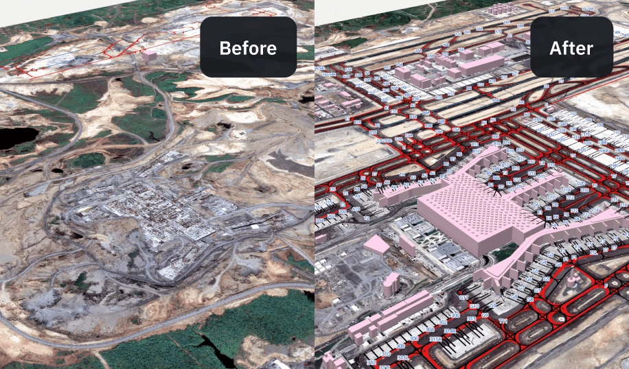
Сhange detection
Spot meaningful changes over time with satellite imagery and ML-powered alerts for faster decisions and risk management. Clear before/after insights so teams can respond efficiently and prevent operational issues.
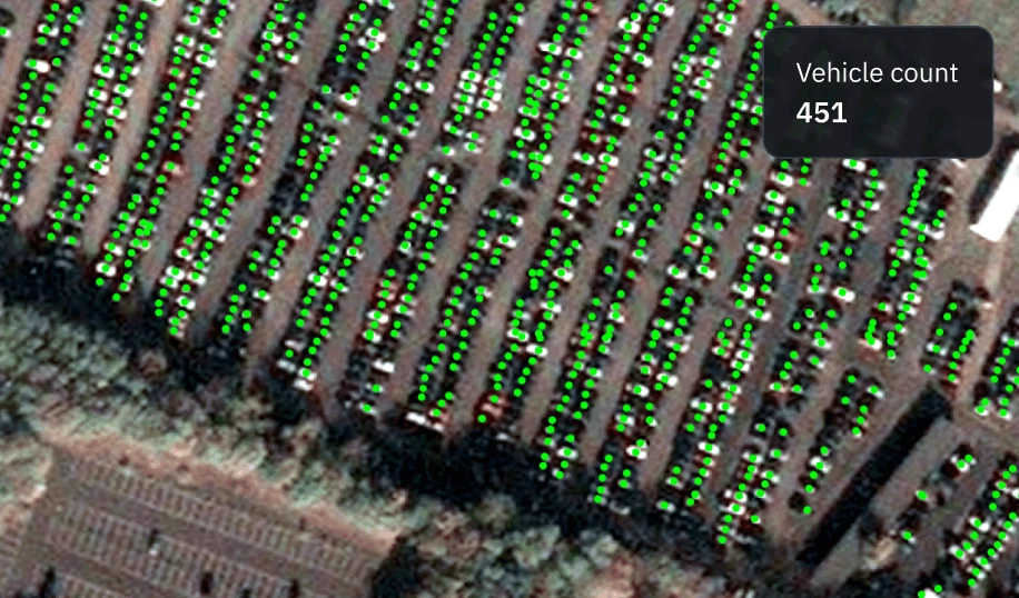
Vehicle and equipment detection
A scalable satellite solution for detecting vehicles, machinery, and industrial equipment in near real time. Monitor fleet distribution, track activity hotspots, and validate site operations without deploying ground teams.
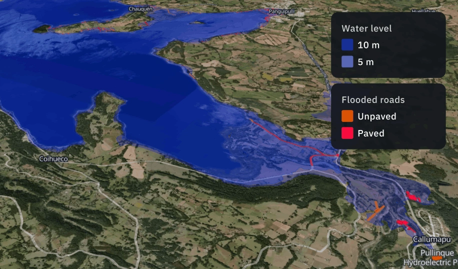
Flood risk and extent analysis
A remote sensing solution for detecting flood extent and evaluating risk across large territories. Combine multi-source satellite data and terrain models to identify vulnerable zones, quantify impact, and track post-event recovery.
The outputs we deliver
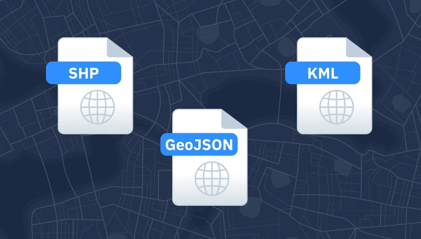
Original data layers
Receive GEOJSON / KML / SHP datasets and upload them wherever you want.
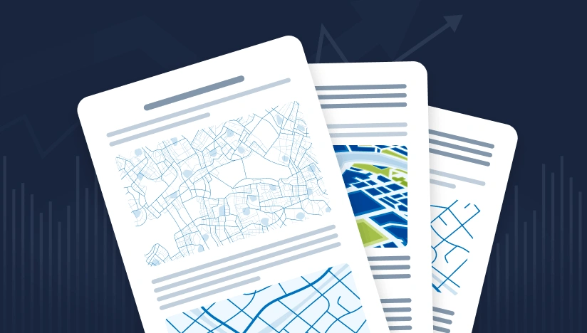
Decision-ready PDF report
Actionable report summarizing key findings for rapid response and easy sharing.
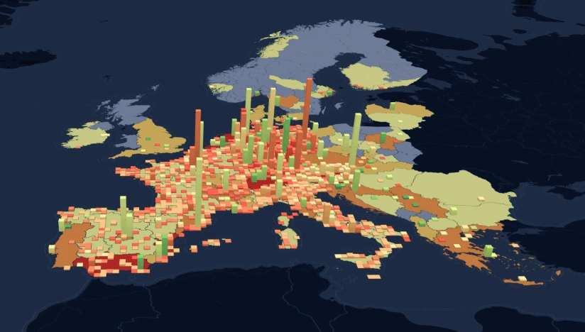
Interactive smart map
Cloud-based interactive map with 3D view for clear visualization and spatial analysis.
Why global leaders trust our approach for urban and smart city management
Delivery that fits operations
Results land as data layers, interactive maps, and reports with KPIs your team can use immediately.
Reliable outputs every time
Complex validation approach reduces manual fixes and keeps outputs consistent across time and areas.
Deploy fast, scale anywhere
Launch quickly and scale as you need thanks to our reusable ML components and processing pipelines.
Insights instead of raw layers
We deliver actionable alerts, metrics, critical changes, not “more data” your team has to interpret.
Spot changes against a clear baseline
We establish a reliable baseline per AOI first; then, continuously flag new objects and changes.
Clear view no matter the visibility
Optical, SAR, or hybrid observation ensures coverage despite clouds, smoke, regional constraints.