Disaster management
Track disasters from space and respond faster. Get clear alerts, interactive maps, and ready-to-share reports that help teams focus on the hardest-hit areas and make smarter decisions on the ground.
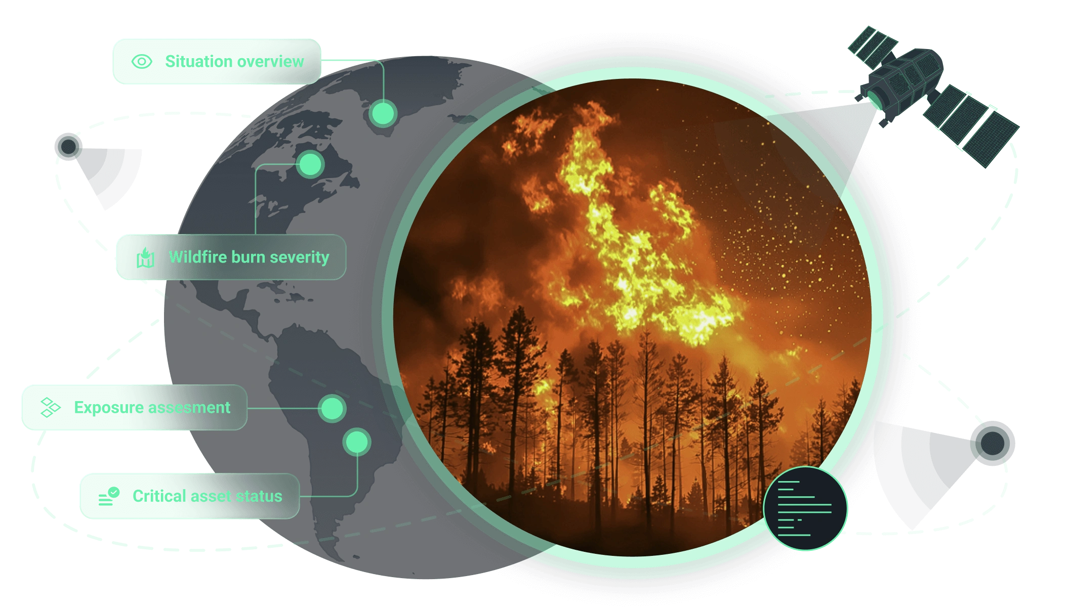
How we support disaster management and recovery operations
Core benefit:
See all affected areas, assets, and priorities at a single glance.
Core benefit:
Map inundation areas and affected settlements quickly and accurately.
Core benefit:
Delineate burned zones and assess impact severity to prioritize response.
Core benefit:
Identify blocked roads and priority access corridors instantly.
Core benefit:
See vulnerable assets, communities, and zones for better resource planning.
Core benefit:
Monitor critical facilities and corridors to reduce downtime and damage.
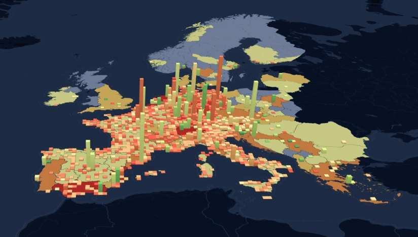
Solutions tailored for disaster management
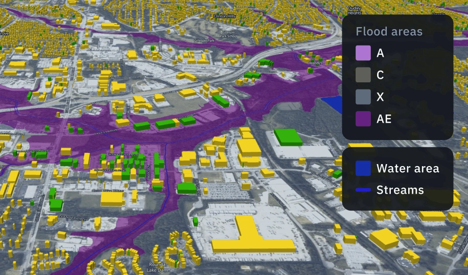
Damage mapping
Quickly identify flood-affected areas, damaged assets, and contamination zones to speed up response, verify claims, and minimize losses.
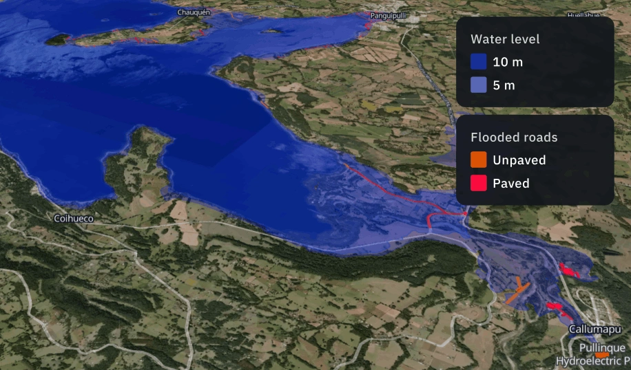
Flood risk and extent analysis
A remote sensing solution for detecting flood extent and evaluating risk across large territories. Combine multi-source satellite data and terrain models to identify vulnerable zones, quantify impact, and track post-event recovery.
The outputs we deliver
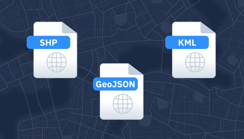
Original data layers
Receive GEOJSON / KML / SHP datasets and upload them wherever you want.
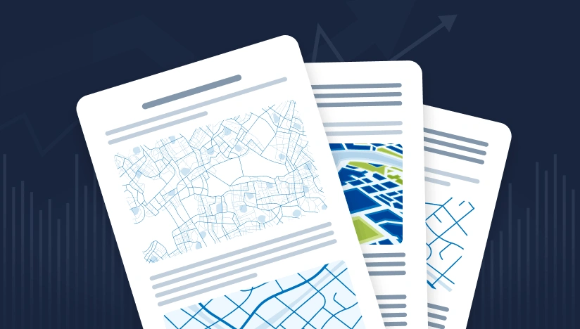
Decision-ready PDF report
Actionable report summarizing key findings for rapid response and easy sharing.
Interactive smart map
Cloud-based interactive map with 3D view for clear visualization and spatial analysis.
Why global leaders trust our disaster management approach
Delivery that fits operations
Results land as data layers, interactive maps, and reports with KPIs your team can use immediately.
Reliable outputs every time
Complex validation approach reduces manual fixes and keeps outputs consistent across time and areas.
Deploy fast, scale anywhere
Launch quickly and scale as you need thanks to our reusable ML components and processing pipelines.
Insights instead of raw layers
We deliver actionable alerts, metrics, critical changes, not “more data” your team has to interpret.
Spot changes against a clear baseline
We establish a reliable baseline per AOI first; then, continuously flag new objects and changes.
Clear view no matter the visibility
Optical, SAR, or hybrid observation ensures coverage despite clouds, smoke, regional constraints.
What our clients are saying
This was an enlightening process for us. After consulting with the EOSDA team, we clarified our requirements and developed a technical task. By working collaboratively and systematically, we were able to produce a report that perfectly meets our needs and is ready to be presented to the reader.
