Zoom in&out, measure distances and identify facility
Use (+) and (-) to get the map zoomed in and out.
Next, you can click the Ruler icon to measure distances. The instrument measures the area and the distance in kilometers and miles. In case you need to measure the distance within AOI.
Specify the points you need to measure the distance between and stick them with a click
To edit your AOI and make the Distance and the Area be remeasured each time you alter it, use Convert to measurements from the context menu in the bottom centre of the screen.
The tool takes measurements at a point. It’s able to identify Altitude/RGB/pixels/coordinates, when calculating the Index, for example.
Layers and Toggle Labels
Click the Layers tool to switch between the following layers:
– Map;
– Terrain;
– Labels. The function is designed to impose labels (road lines, names of the cities, regions, countries, islands, etc.) on the map.
The function Toggle Labels is designed to impose labels (road lines, names of the cities, regions, countries, islands, etc.) on the map.
Share and publish
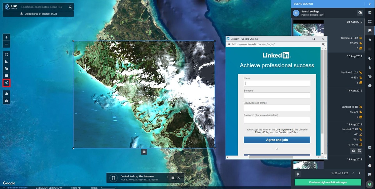
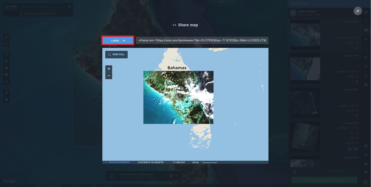
To share the file, click the share icon from the side toolbar and select Share map from the drop-down menu
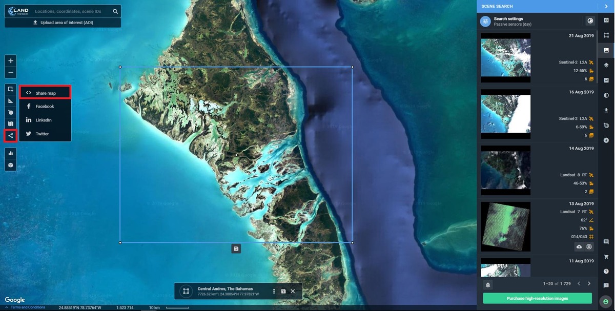
Choose the size (small/medium/large) and get a shareable link
To Publish it, select one of the social media from the list and create a post
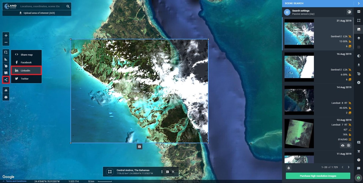
The post opens in the new tab and contains a direct link to EOSDA LandViewer