Soil moisture analysis to optimize farm operations
EOS Data Analytics provides satellite-powered soil moisture analytics for smarter agricultural and environmental decisions to optimize irrigation, prevent drought loss, and improve crop yields.
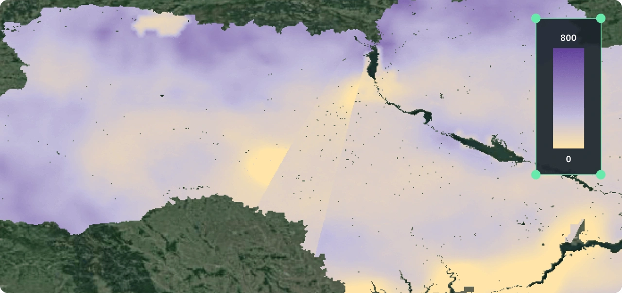
- Accurate surface moisture mapping using SMAP and AMSR radiometric data.
- Regular updates every 1–3 days, and historical data available from 2002.
- Flexible data delivery, including raster layers, API access, and integration into other crop monitoring software.

Benefits of the soil moisture analysis solution by EOSDA
- Irrigation management optimization.
- Crop health and yield optimization (prevention of water stress).
- Drought monitoring and early warning support (identification of developing drought conditions, allowing for proactive mitigation strategies).
- Flood risk assessment support and accuracy increase.
- Better disease and pest control (through management of the conditions that might favor certain diseases or pests, e.g., excessive moisture).
Approach and Methodology
Algorithm: The technology is based on the restoration of moisture content from radiometric data, taking into account soil type (clay content as a primary parameter).
Satellite data: The model uses satellite imagery from microwave scanning radiometer sensors (e.g., SMAP and AMSR satellites).
Resolution: Spatial resolution of layers up to 250x250 m for SMAP and up to 100x100 m for AMSR satellites, depending on requirements.
Limitations: The technology may not work well for small objects and coastal areas.

Expected project outputs and formats
- Raster layers in GeoTIFF format showing soil moisture at a volumetric surface level per pixel.
- Resolution up to 250 m (SMAP) or up to 100 m (ASMR)
- Historical data from 2015 (SMAP) and 2002 (ASMR)
- Data update frequency: 2-3 days (SMAP) and 1-2 days (ASMR)
- Data delivery via API (user gets data upon request of target polygons and dates)
- Delivery via Crop monitoring platform as a trend or average value per field.
Required data for any soil moisture analysis project
Data provided by the customer
- Area of interest: table (xlsx/ csv) or vector format (KML, ESRI shapefile, GPKG, GeoJSON)
- Soil data (clay, density, sand), if available
- Ground truth data for validation, if available
Data prepared by EOSDA
- Satellite imagery (SMAP, AMSR satellites)
- Soil data (clay, density, sand), from open sources or modeled/ interpolated
- Validation of soil moisture datasets
Standard project stages
Typical project duration: 2-3 weeks for a new AOI
Investigation of AOI, analysis of data coverage
Searching for or modeling/interpolating soil maps
Launch of current or historical calculations
Result verification and preparation of final outputs