Security
Stay ahead of security risks with satellite monitoring across borders and critical areas. Spot suspicious activity early, prioritize patrols, and verify incidents with space-derived evidence.
How we support security operations
Core benefit:
Enhance border security by detecting tracks, crossings, and staging areas early.
Core benefit:
Maintain site integrity with alerts on new objects and layout changes.
Core benefit:
Catch enroachments and unauthorized builds instantly across protected areas.
Core benefit:
Gauge operational capacity and activity levels by tracking and counting assets.
Core benefit:
Spot blockages and access issues near key corridors to ensure logistics flow.
Core benefit:
Protect coastlines by detecting vessels and suspicious coastal activity.
Our solutions tailored to security needs
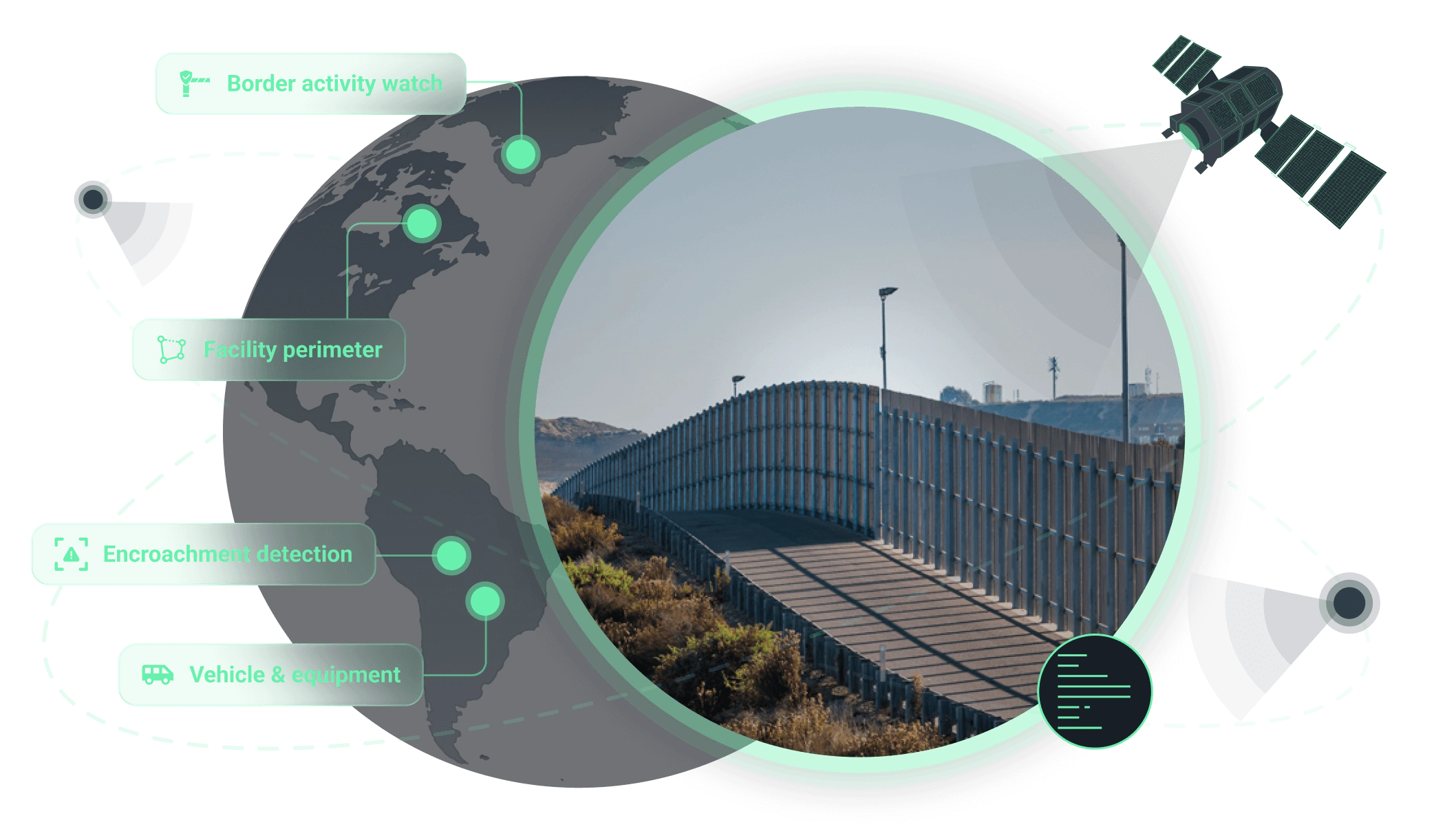
Border security
Monitor border areas continuously at scale to spot new crossings, unusual activity, and landscape changes early. This allows you to focus patrols where risks are rising and respond faster to incidents.
The outputs we deliver
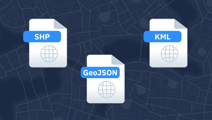
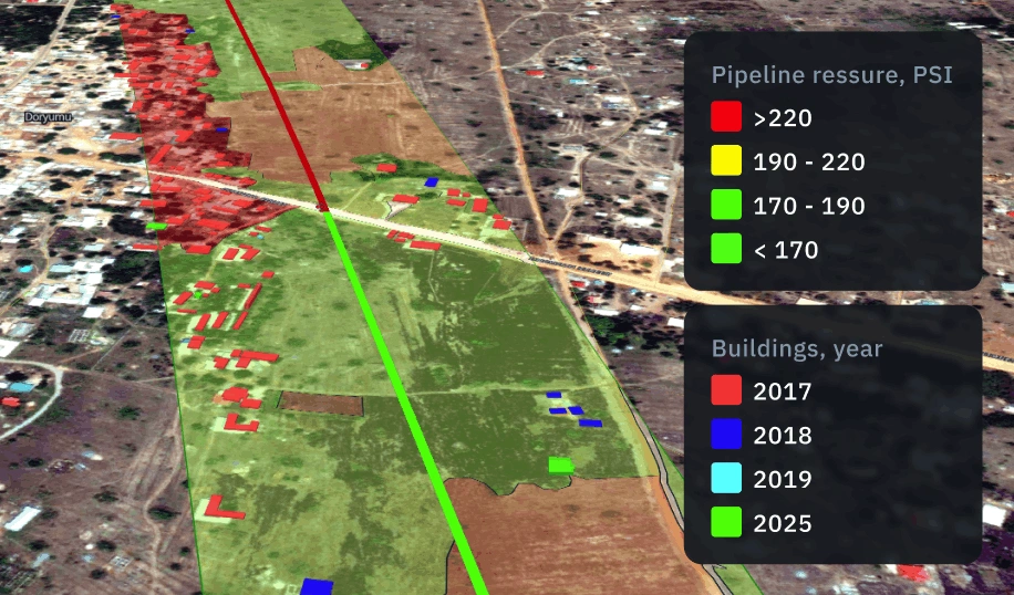
Original data layers
Receive GEOJSON / KML / SHP datasets and upload them wherever you want.

Decision-ready PDF report
Actionable report summarizing key findings for rapid response and easy sharing.
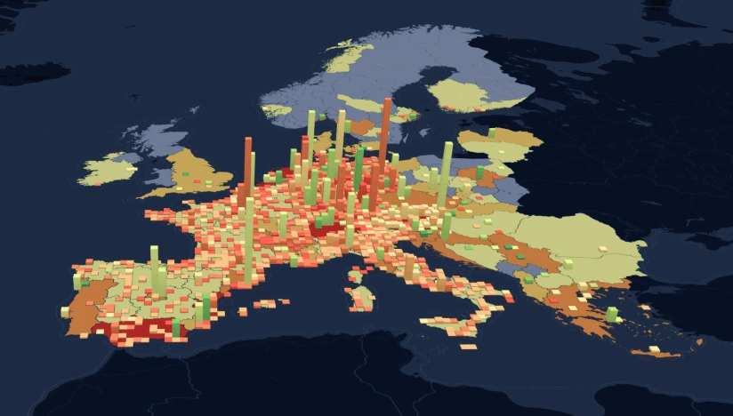
Interactive smart map
Cloud-based interactive map with 3D view for clear visualization and spatial analysis.
Why choose EOSDA for security monitoring
Delivery that fits operations
Results land as data layers, interactive maps, and reports with KPIs your team can use immediately.
Reliable outputs every time
Complex validation approach reduces manual fixes and keeps outputs consistent across time and areas.
Deploy fast, scale anywhere
Launch quickly and scale as you need thanks to our reusable ML components and processing pipelines.
Insights instead of raw layers
We deliver actionable alerts, metrics, critical changes, not "more data" your team has to interpret.
Spot changes against a clear baseline
We establish a reliable baseline per AOI first; then, continuously flag new objects and changes.
Clear view no matter the visibility
Optical, SAR, or hybrid observation ensures coverage despite clouds, smoke, regional constraints.