Maritime and logistics
Optimize your maritime logistics with near-real-time satellite intelligence. Track vessels, ports, and routes to spot disruptions and hidden activities before they impact your bottom line.
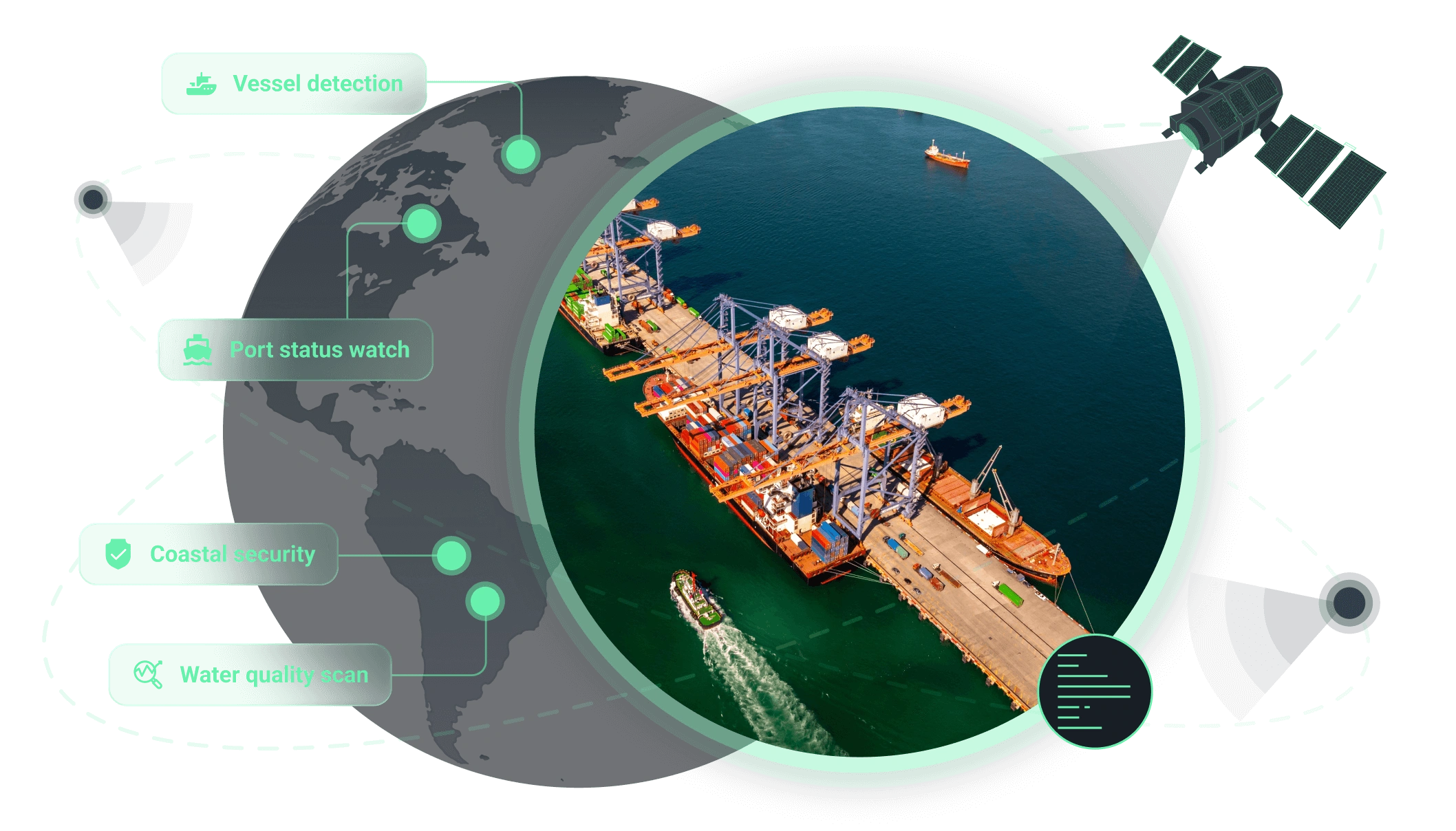
How we support operations in maritime and logistics sectors
Core benefit:
Expose dark traffic and AIS gaps to ensure full maritime transparency.
Core benefit:
Stay ahead of delays with prompt signals on port readiness and disruptions.
Core benefit:
Flag suspicious patterns near restricted zones to ensure maritime safety.
Core benefit:
Detect damage and degradation across critical infrastructure.
Core benefit:
Stay compliant by monitoring turbidity and pollution indicators near terminals.
Core benefit:
Flag shoreline change that might impact port access and critical assets.
Solutions for maritime and logistics needs
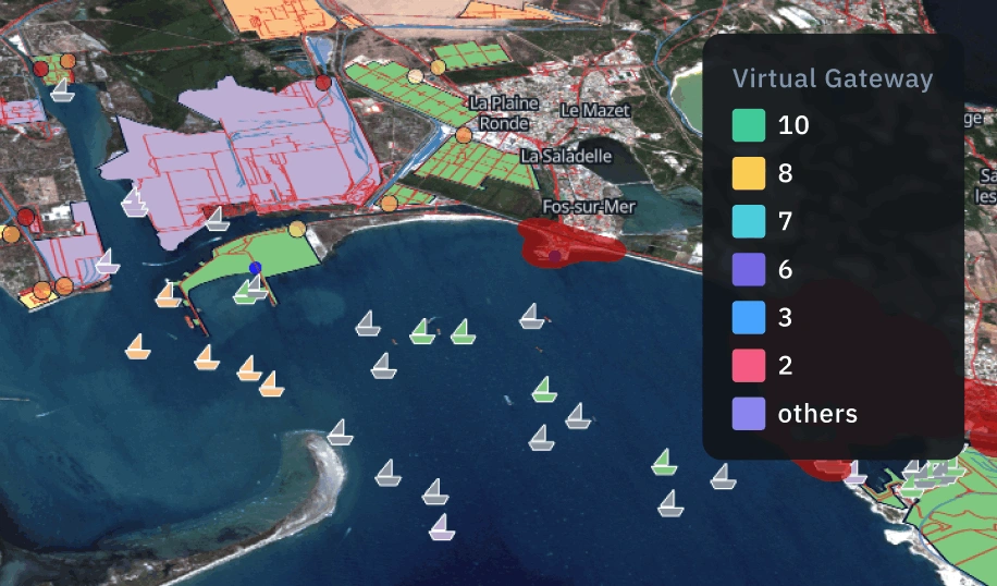
Maritime surveillance
We analyze satellite imagery to reveal real maritime activity across vessels and ports. Get actionable insights that support security checks, regulatory compliance, and faster, better-informed operational decisions.
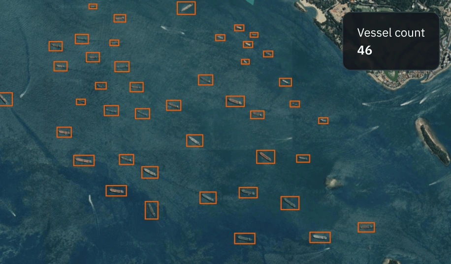
Vessel detection
A scalable remote sensing solution for mapping vessel presence across coastal and open-sea areas. Monitor traffic density and detect suspicious activity to support maritime security and logistics oversight.
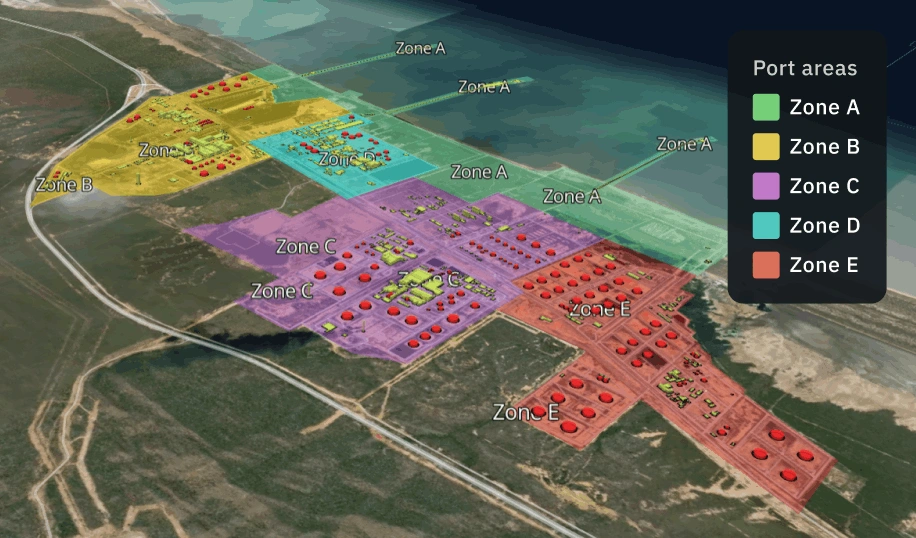
Ports operational status monitoring
Get near real-time insights into port operations with satellite monitoring. Track vessel traffic, berth availability, and congestion patterns to optimize scheduling and improve supply chain efficiency.
The outputs we deliver
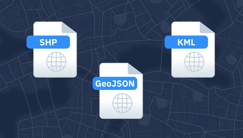
Original data layers
Receive GEOJSON / KML / SHP datasets and upload them wherever you want.

Decision-ready PDF report
Actionable report summarizing key findings for rapid response and easy sharing.
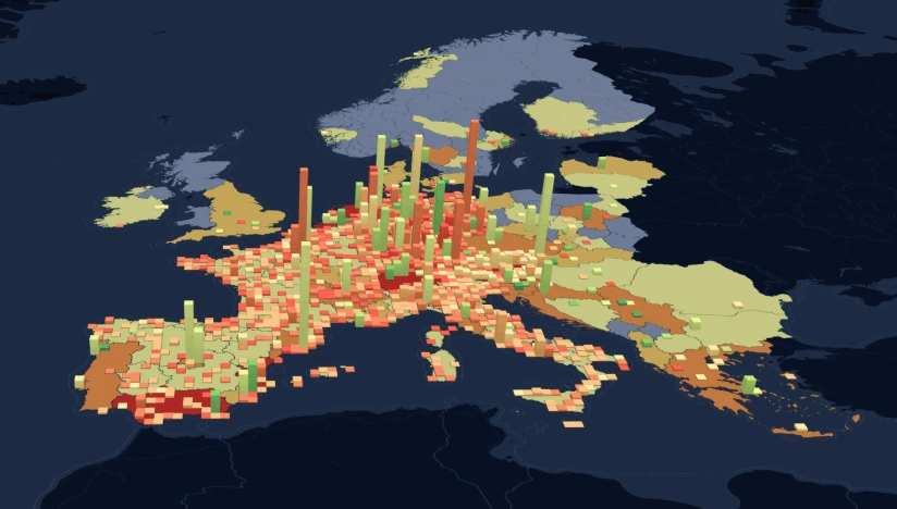
Interactive smart map
Cloud-based interactive map with 3D view for clear visualization and spatial analysis.
Why global leaders trust our approach in maritime and logistics
Delivery that fits operations
Results land as data layers, interactive maps, and reports with KPIs your team can use immediately.
Reliable outputs every time
Complex validation approach reduces manual fixes and keeps outputs consistent across time and areas.
Deploy fast, scale anywhere
Launch quickly and scale as you need thanks to our reusable ML components and processing pipelines.
Insights instead of raw layers
We deliver actionable alerts, metrics, critical changes, not “more data” your team has to interpret.
Spot changes against a clear baseline
We establish a reliable baseline per AOI first; then, continuously flag new objects and changes.
Clear view no matter the visibility
Optical, SAR, or hybrid observation ensures coverage despite clouds, smoke, regional constraints.