Agro carbon markets and dMRV
Scale your carbon projects with AI-powered satellite insights. Automate monitoring, streamline verification, cut operational costs, and maximize financial returns.
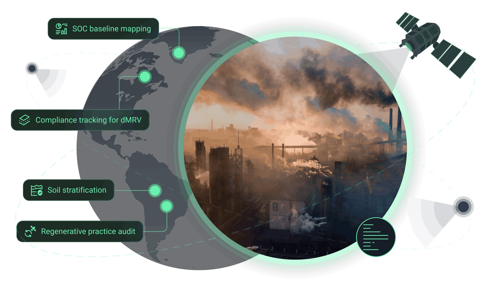
How agro carbon markets benefit from our dMRV solution
Core benefit:
Get benchmarks using ML models based on satellite data and up to 140 predictors.
Core benefit:
Stay compliant with continuous satellite monitoring of tillage and cover crops.
Core benefit:
Predict 20-year carbon dynamics to secure long-term investment and ROI.
Core benefit:
Meet industry standards by dividing agricultural land into similar zones.
Core benefit:
Prove regenerative practice adoption with transparent satellite verification.
Core benefit:
Evaluate large-scale AOIs' potential instantly to focus on high-ROI ones.
Our dMRV solutions tailored for agro carbon markets
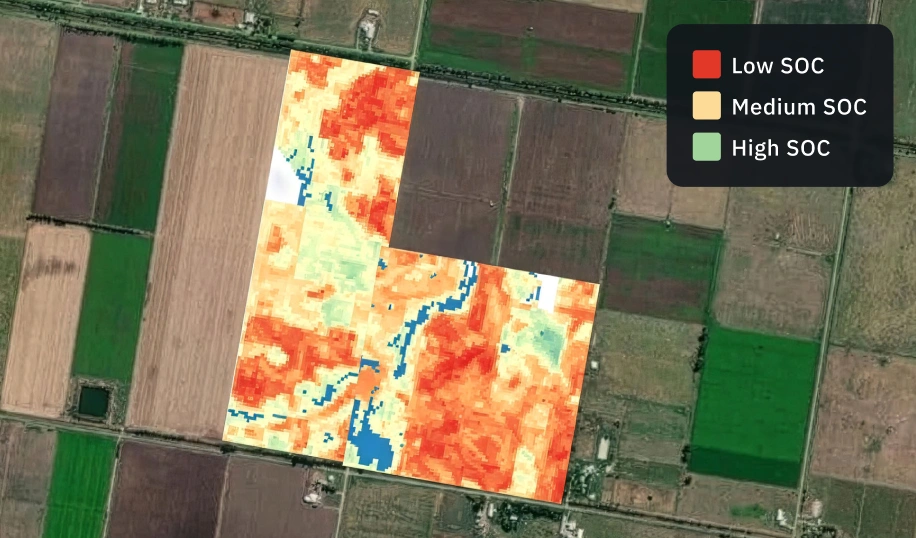
Soil organic carbon prediction
Forecast carbon sequestration dynamics within 20 years using an enhanced RothC model powered by high-resolution satellite data. Compare several modeled land-use scenarios and choose strategies that maximize project value.
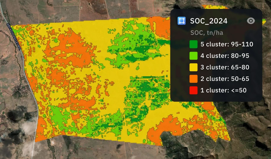
Soil organic carbon estimation
Establish audit-ready SOC baselines with 90%+ accuracy using our ML-powered solution that combines ground data, satellite imagery, and up to 140+ predictors. Map carbon stocks at scale while reducing costly physical sampling.
The outputs we deliver
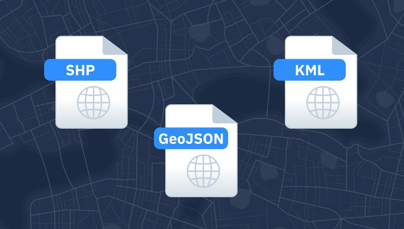
Original data layers
Receive GEOJSON / KML / SHP datasets and upload them wherever you want.

Decision-ready PDF report
Actionable report summarizing key findings for rapid response and easy sharing.
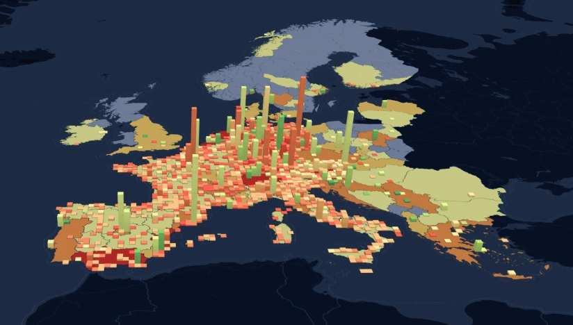
Interactive smart map
Cloud-based interactive map with 3D view for clear visualization and spatial analysis.
Why choose EOSDA for your agro carbon projects
Delivery that fits operations
Get ready-to-use data layers, interactive maps, and comprehensive reports for immediate action.
Reliable outputs every time
Complex validation cuts manual fixes, ensuring consistent, reliable outputs.
Deploy fast, scale anywhere
Quick launch and seamless scaling with our proven ML components and automated pipelines.
Insights instead of raw layers
We deliver clear insights and alerts to act on instead of more data to interpret.
Spot changes against a clear baseline
We begin with setting a solid baseline, then track every change across your AOIs.
Clear view no matter the visibility
Secure all-weather monitoring for any area via optical, SAR, or hybrid sensor fusion.