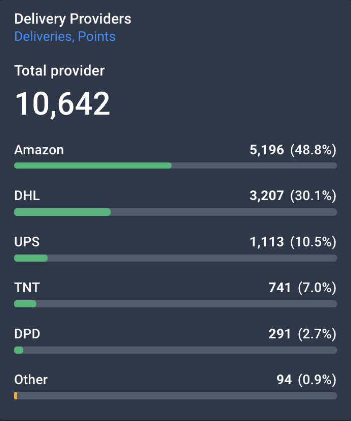

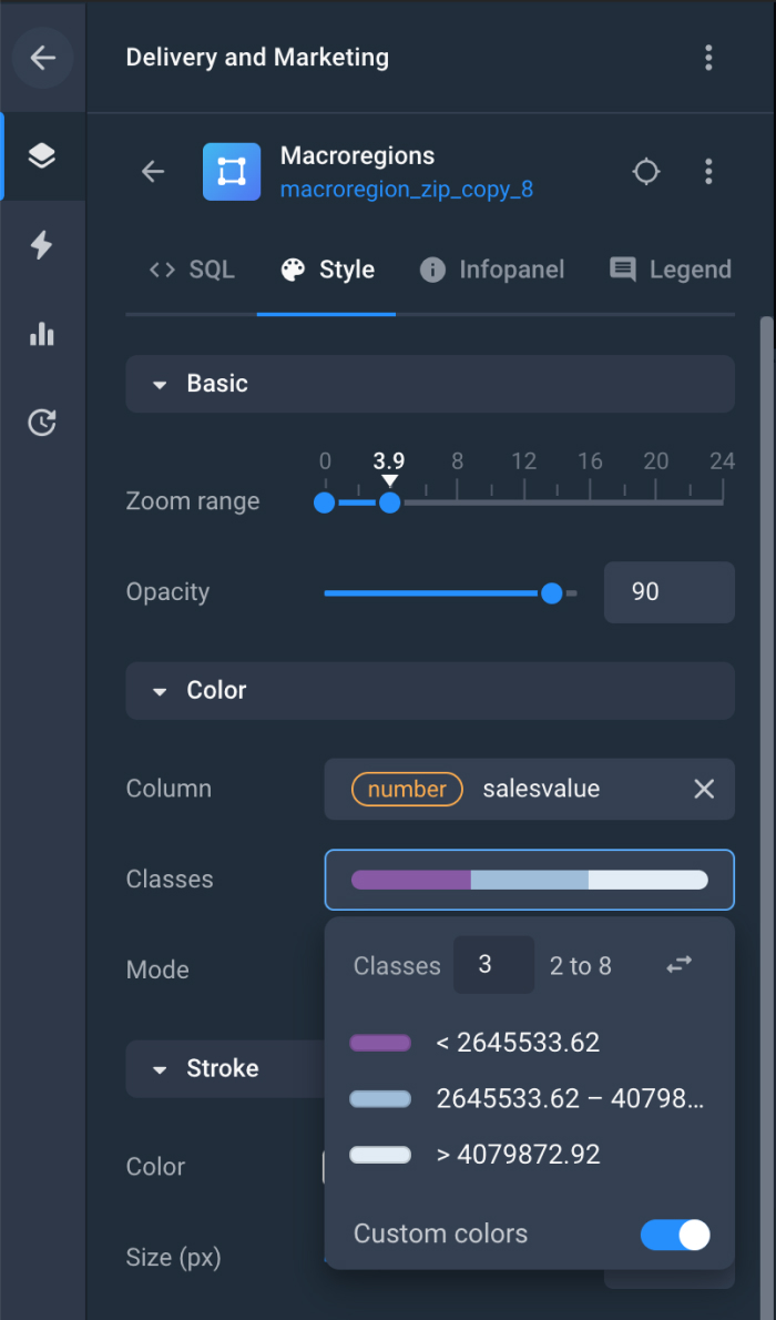
All-in-one GIS mapping tool
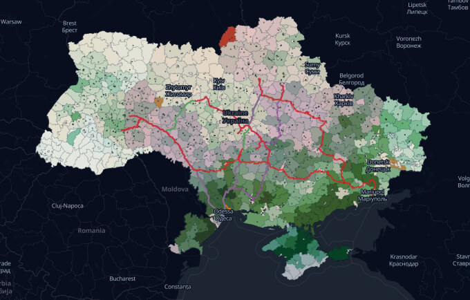
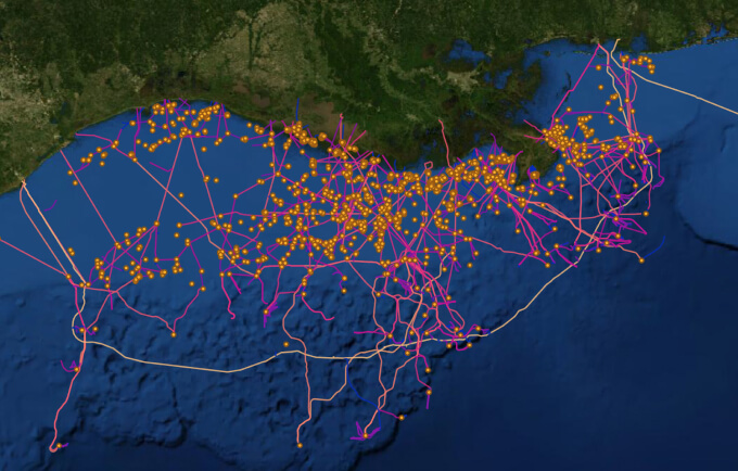
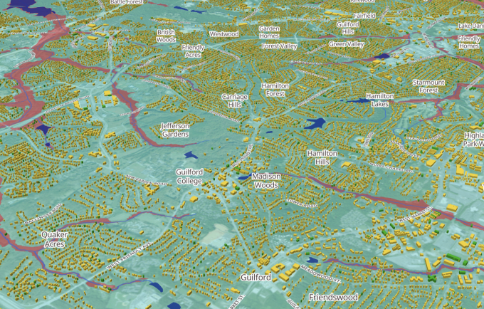
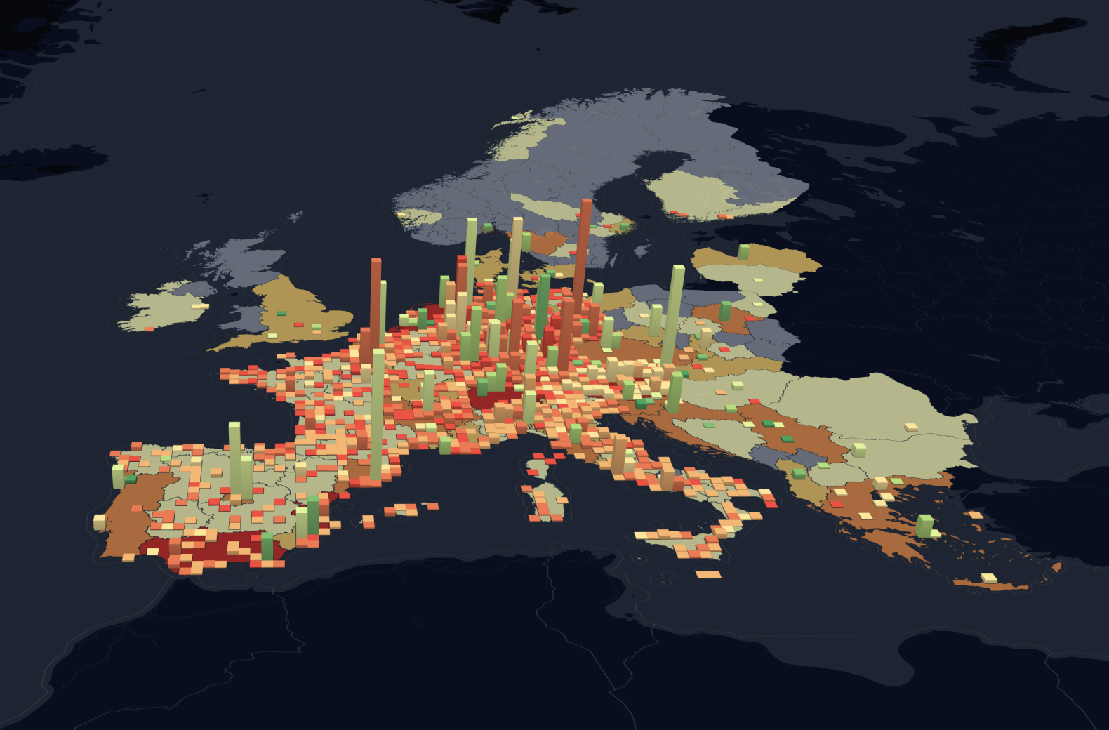
Meet GIS mapping by Aspectum, the tool that gives you access to the robust data presented as an easy-to-comprehend online map and equips your decision-makers with powerful insights into tendencies, links, and relations.
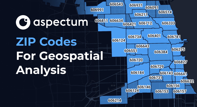
Enhance Your Business Development
Introduce the interactive GIS software into your business processes and gain invaluable information from risk predictions to identifying new commercial opportunities. With just a few clicks.